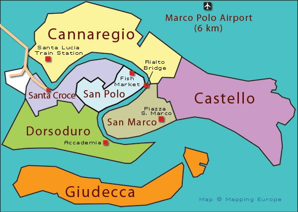
The sestieri (wards) of Venice
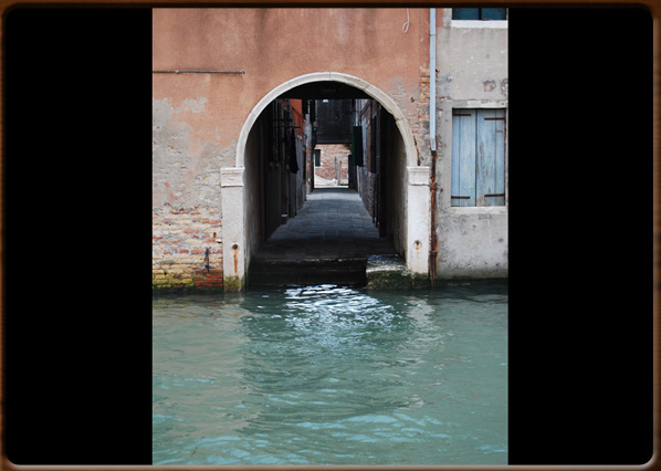
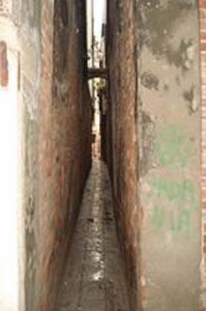
Venetian 'sottoportego' .
No video
The sestieri (wards) of Venice
Venetian 'sottoportego' .
The city of Venice is split into six sestieri: Santa Croce and San Polo to the Northeast, Dorsoduro to the West, San Marco in the centre, Cannaregio to the North and Castello to the East.
Then there is also Giudecca to the South, which forms part of Dorsoduro.
The districts of Santa Croce, San Polo and Dorsoduro to the left of the Canal Grande, while to the right are San Marco, Cannaregio and Castello.
Some historians date this division into districts to the end of the 9th Century, under the Doge Orso Partecipazio, when the capital moved from Malamocco to Rivoalto, the central island and heart of the future Venice. At the time, the name Rivoalto was used to identify the whole city until the 13th Century; the name Venice was only used for the surrounding mainland. Other historians date the creation of these sestieri later, between 1148 and 1178, during the reigns of the Doges Domenico Morosini, Vitale Michiel and Sebastiano Ziani.
The sestieri were born and developed as clearly distinct centres. Today they show us that Venice is still a collection of small islands, where the streets and bridges are mainly for moving within each district, while boats were used for longer journeys. In the 19th Century, however, with the introduction of the new Austrian Land Registry, the civic numbering of the houses was reorganised and that system is still valid today.
The streets of Venice.
The Venetian word for street is [calle], though there are also other names for more specific types:
Salizzada or salizada: a wide, important paved road from ancient times.
Fondamenta/e: a street that runs alongside a canal.
Ruga: a street flanked either side by shops, workshops and houses.
Ramo: a street connecting two major roads, which may also be waterways. Often a no-through road.
Sottoportego: a street that runs under a building.
Rio Terrà: an old filled-in canal, now used as a pedestrian way.
1100 - 1200 - - rev. 0.1.9