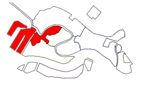
Sestiere of Santa Croce.
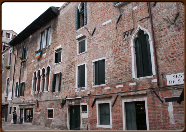
Historic building in red bricks.
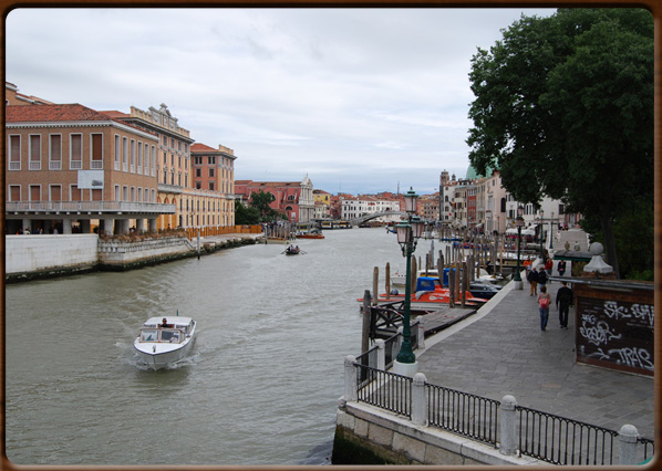
Canal Grande.
No video
Sestiere of Santa Croce.
Historic building in red bricks.
Canal Grande.
The area containing the districts of Santa Croce and San Polo were called “Luprio” in ancient times: a vast area of pools and salt marshes at the beginning of Venice’s history. The sestiere of Santa Croce is to the Northeast of the modern city connected via Piazzale Roma and Ponte della Libertà (1933), the road-bridge that links Venice to the mainland.
This area has been demolished and transformed several times, starting in 1810 when the church and monastery of Santa Croce (hence the name of the area) was demolished to make way for the Papadopoli gardens designed by the architect in the English style, now open to the public.
Santa Croce includes some areas that were only built in the 1800s and 1900s, on recently reclaimed islands. These became popular residential areas, as did the nearby San Polo. It could be said that Santa Croce has the fewest buildings of architectural interest in Venice, though it does contain the churches of San Giacomo dell'Orio and San Stae, the important Ca’ Pesaro Museum, the Fontego dei Tedeschi and the Fontego dei Turchi. The latter, now housing the Natural History Museum, was for many years the symbol of trade between Venice and Muslims, despite the several wars between these two peoples and the resistance and outrage of many Popes.
1100 - 1200 - - rev. 0.1.6